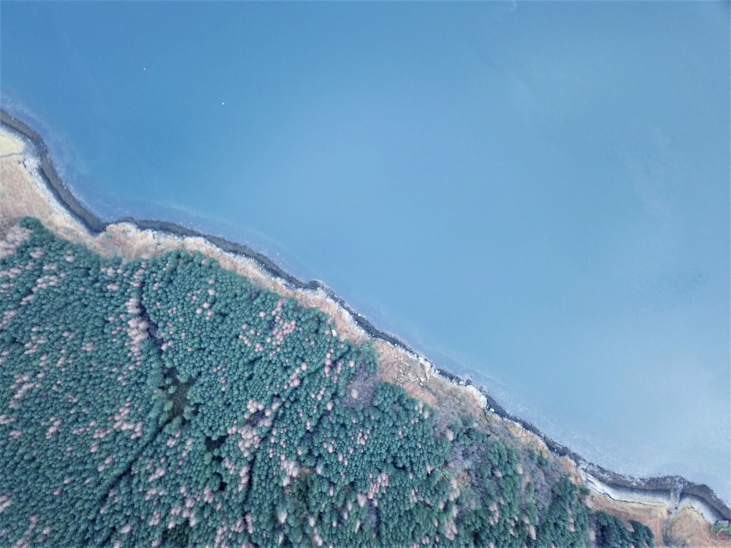
UAV operations
We are fully licenced operators of unmanned autonomous vehicles (drones). We have been utilising drone technology for a number of years to assess timber crops and forest properties through the use of high resolution, up to date aerial imagery that we can produce as and when required. By taking a large number of pictures from known locations across a property, we can produce high quality ‘ortho-mosaics’ - geo-referenced aerial images made up of a mosaic of smaller images. These can be produced at a resolution of up to 2 cm per pixel, allowing very fine detail to be seen that could otherwise not be seen without the use of a plane or helicopter.

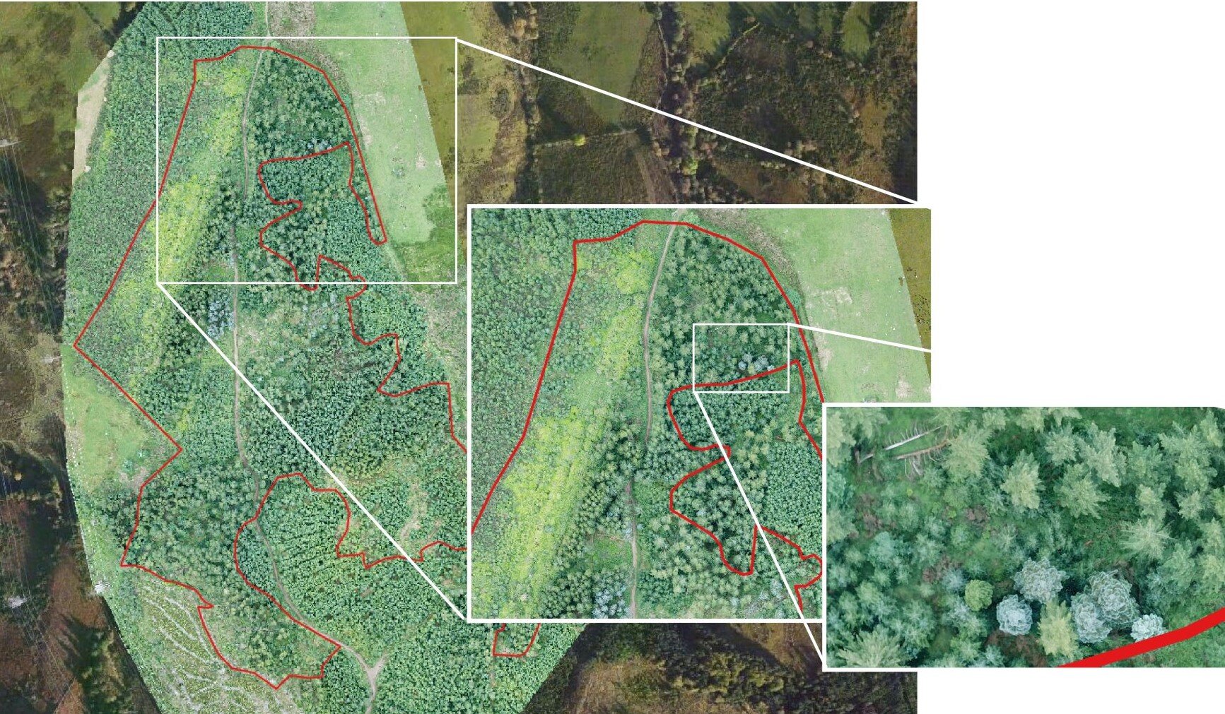
Wind-blow assessment using UAV
Up to date aerial images can improve the understanding of a crop and aid in stratification, harvesting planning and many other aspects of planning and operations. We can generate georeferenced aerial images, elevation models, terrain data and three-dimensional models of a forest.
As with our mensuration work, we can tailor our data capture to the client requirements and by combining the UAV data input with GIS software we can produce various image formats to suit user needs, including;
Geo-referenced aerial images
Terrain data (both elevation data and slope analysis)
3-dimensional models
Forestry applications of uavs
By combining the knowledge of forest practices with the adaptability and capability of UAV technology, we have developed various value-add services for the forestry industry, including;
Detailed mapping and accurate area analysis
Species analysis and stand stratification
Crop health analysis
Wind blow assessment - both area and potential for timber recovery
Road, track and drain planning, using terrain data to determine slope angles
We are also working to develop top height analysis software and species identification tools to gain further knowledge from the captured data.